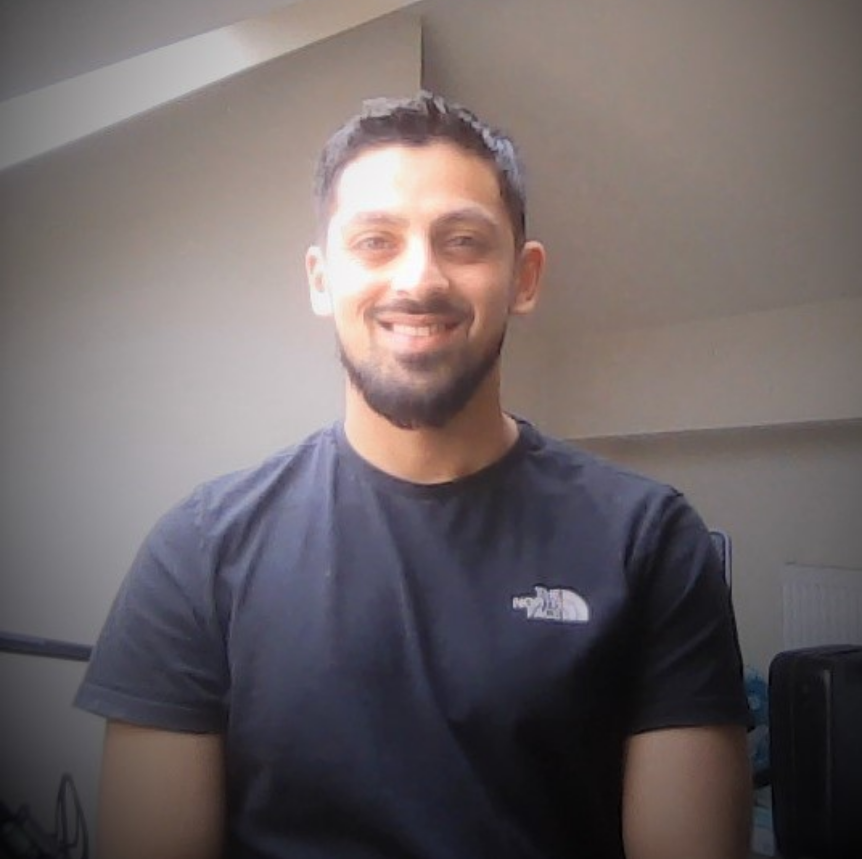
BSc Physical Geography, Manchester Metropolitan University
GIS Consultant at Arcadis
I am a third generation British Asian and first in my family to attend university. I love food, who doesn’t eh? Rick Stein was my inspiration growing up and I’d often burn a lot of food – maybe that’s why I was banned from my mum’s kitchen. But that’s what grandmas are for! I’d use her kitchen to test with freedom and sometimes make something delicious. Anyways, growing up I was always fascinated by the natural environment leading to a profound interest in geography. I understood that our lives revolve around this subject and it affects us on a personal level. It was a struggle to explain the importance of geography to family, friends, and people within my community. I was often faced with questions like ‘What job will you get? ‘How will you build an earning future’ or ‘Have you not looked into studying business or accounting?’ However I continued to strive in the path I loved.
I studied Physical Geography at Manchester Metropolitan University and was immediately inclined towards GIS. Yes, I was exposed to it at college, however, I was unaware of its complete use. I used GIS as part of my dissertation to quantify glacial lake development in Nepal and Peru. The application of geography in the real world allows us to understand and make informed decisions to assist people. The very people I live with and many around the world. I knew I wanted a career in this as it allowed me to apply my knowledge to different geographical subjects I loved. Therefore, following graduation, I accepted my first GIS role with the United Nations in Jordan, where I assisted the Syrian humanitarian response plan in data collection, analysis and developing applications which our field aid workers used to deliver aid in Syria. I developed my knowledge and skills in GIS Analysis by processing datasets to produce effective results for the benefit of the organisation. My research focussed on road network accessibility, and I would present research findings to internal and external stakeholders.
Following my tenure in Amman I decided to return home to work on contracts across the UK until I acquired a permanent role. Firstly, at Western Power Distribution in Birmingham as a GIS technician, I digitised power distribution networks across the Midlands. I then moved to Sheffield to work on a gas network project for National Grid and finally to Oxford where I worked for property consultancy called Carter Jonas. My role was to provide geospatial solutions to the residential, commercial, rural, planning and development sectors. I was introduced to land referencing, acquisition, and surveying.
I decided to move closer to home by accepting a position at Trafford Council where I provided specialist technical support to fulfil the information, spatial analysis and mapping requirements of the Strategic Growth and Planning and Development teams, other Council services and external clients. In 2017 I was offered a position at WSP where I led the delivery of pre and post-acquisition of land on the phase 2a route of the HS2 rail development project as part of the wider land referencing team at WSP. I was part of the book of reference delivery which was presented and accepted in parliament.
In 2020 I joined the GIS team at Arcadis where I am the hub manager for the Calvert section on HS2. I am responsible of all GIS deliverables on the hub and to ensure engineering detailed design data is compliant. I work closely with engineers within the geotechnics and tunnelling discipline.
I have worked within the humanitarian, energy, public and most recently infrastructure sectors where I used many forms of geospatial technology. I think it was an interesting start to my journey — I learnt a lot about myself and experienced different cultures and ways of working. I have worked on the HS2 rail project for nearly 5 years. I’m proud of delivering the Land acquisition book of reference which was discussed and used in parliament. Most currently I pride myself on developing applications for our engineers so that data analysis and sharing is made easy. Web applications and dashboards are created to enable visualisation and integration of engineering data. It is vital that project data of high quality is accessible to support better decision making. GIS technology is always advancing and yet with the current technology available we are yet to maximise its use. The process of communicating with colleagues and discussing ways we can help allows us to create and implement an array of geospatial tools.
I see a digital transformation and GIS is at the forefront in our business. We are developing applications that allow users to analyse, challenge and make informed decision on infrastructure projects. As a result, more non-GIS professionals are becoming more aware of our technology. My advice to prospective geoscientists would be to follow your interests and talk to as many professionals in that field as you can. LinkedIn is great and many like myself are more than happy to advise.
Watch an interview with Adil about his journey below, or scroll down for links to contact Adil or return to the role models page!